Take on 75km (47 miles) with a 24 hour target and 2,235m of ascent, the Silver Peak District Challenge is shown with silver lines on our route schematic. Not to be underestimated, this route follows the easiest and flattest routes between 7 aid stations, but still covers a huge mileage. During the initial overnight leg, you can chose to join a led group walking with a guide, or navigate yourself. During the daytime, you’ll navigate yourself. Completing the Silver Peak District Challenge earns you 3 ITRA points and is a UTMB(r) index race. You will need to maintain 4kph during the first 9 hours of the event to meet checkpoint cutoffs.
The route
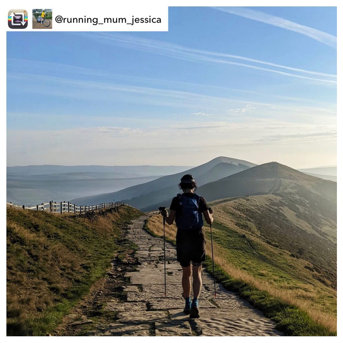
Departing the Hope valley at 9pm on Friday evening, you trek east up on to the Dark Peak moors. You will cross Stanage edge, site of Robin Hood’s cave, and Foulstone Moor to reach Back Tor. Next it’s a descent to Ladybower Valley and an easy flat section around Ladybower reservoirs where the Dambusters trained for their bombing missions in WWII.
You will climb to the geological oddity of Alport Castle, before descending to the vale of Edale through forests, Woodlands valley and the route of the Roman road.
As dawn breaks you re-enter the western end of the Hope valley and head to beautiful Castleton, from where you will join the Limestone Way past Peveril Castle and enjoy the valley nature reserves at Hay Dale.
Joining the Bronze route on the second half of their challenge, you’ll leave the Limestone way and meander through idyllic White Peak villages and the Derbyshire Dales nature reserves on your way up to Middleton Moor. A tracked section through the Peak District’s working landscape brings you to pretty Baslow.
The route home follows the river Derwent north along the Derwent Valley heritage trail through rolling fields and alongside the chattering river to Padley and Grindleford. Your challenge is to finish by 9pm on Saturday evening.

ITRA and UTMB (r) points


The 75km Silver Peak District Challenge is a UTMB (r) Index Race. Finishers earn 3 ITRA points.


